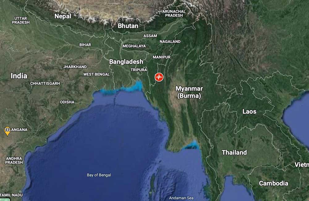
A 6.1 magnitude earthquake has hit 19 km northwest of Hakha in Chin State, Myanmar.
The epicenter of the earthquake is 63.3 km away from Saiha, Mizoram.
The United States Geological Survey estimated the earthquake’s depth to be 32.8 km.
Apart from reports of feeling the earthquake, there are no confirmed incidents of any significant damage.